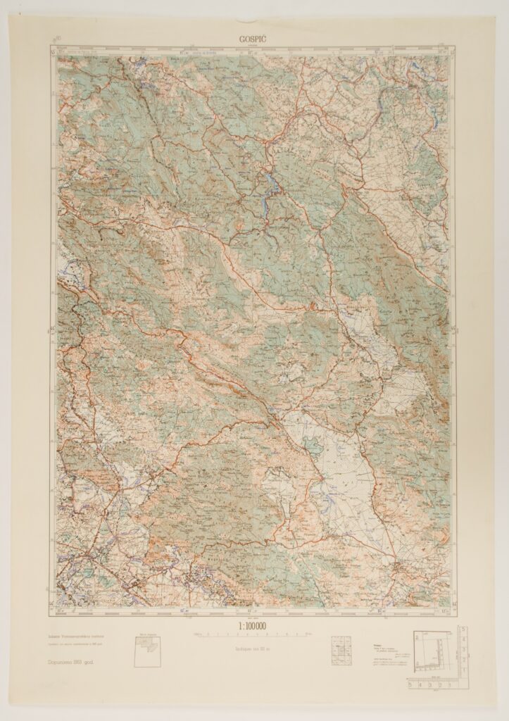
Sections of Topographic Maps of the Federal People’s Republic of Yugoslavia in 1:100,000 Scale
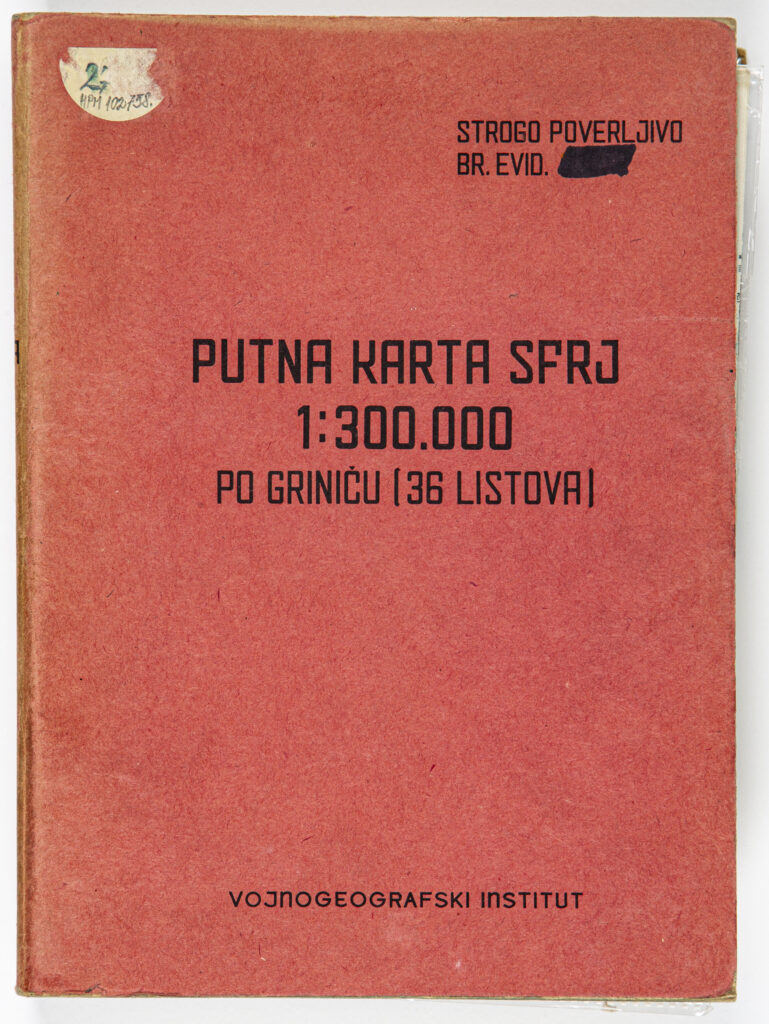
Road Map of the Socialist Federal Republic of Yugoslavia
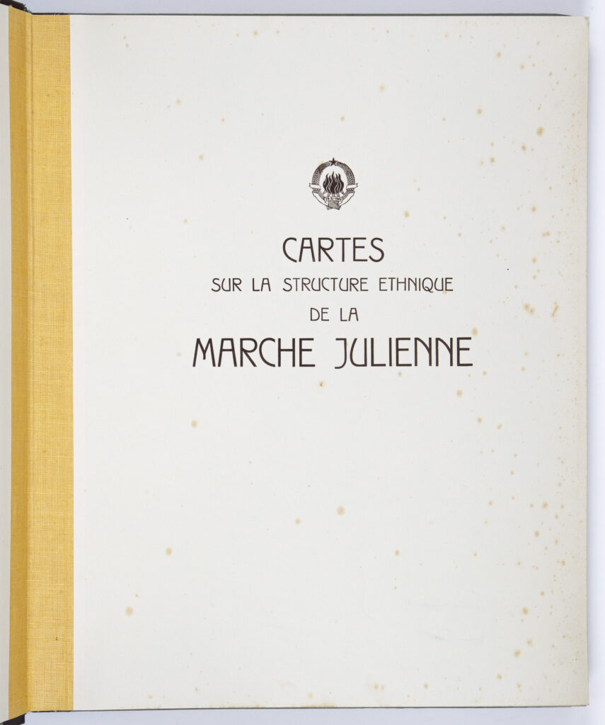
Atlas of the Ethnic Structure of the Population in the Julian March Region
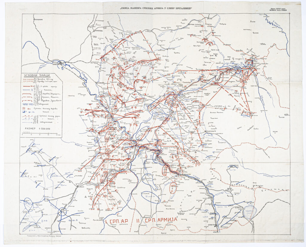
Map: ‘Sketch of Serbian Army Manoeuvres in the Drainage Basin of the Bregalnica’
Map of the Independent State of Croatia

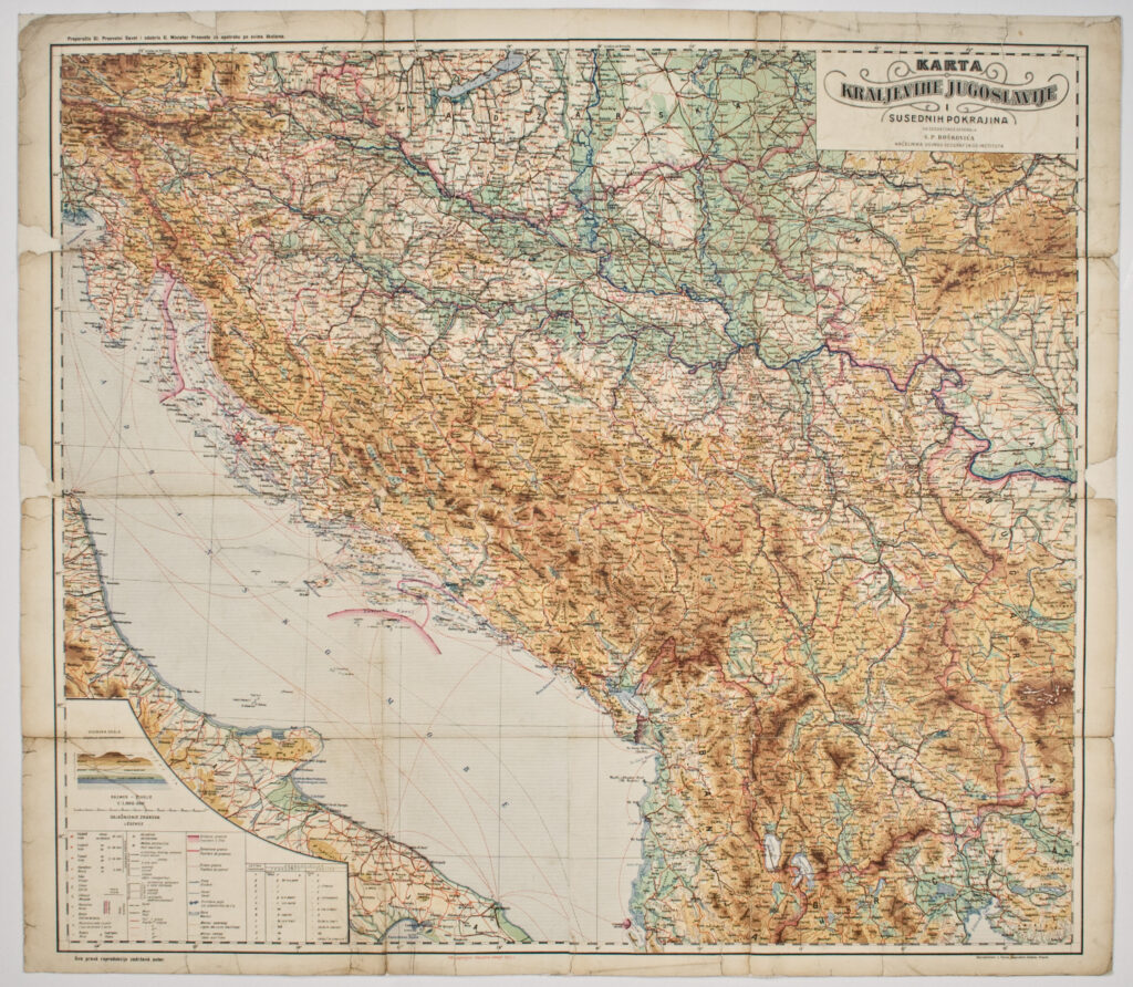
Map of the Kingdom of Yugoslavia and Neighbouring Provinces
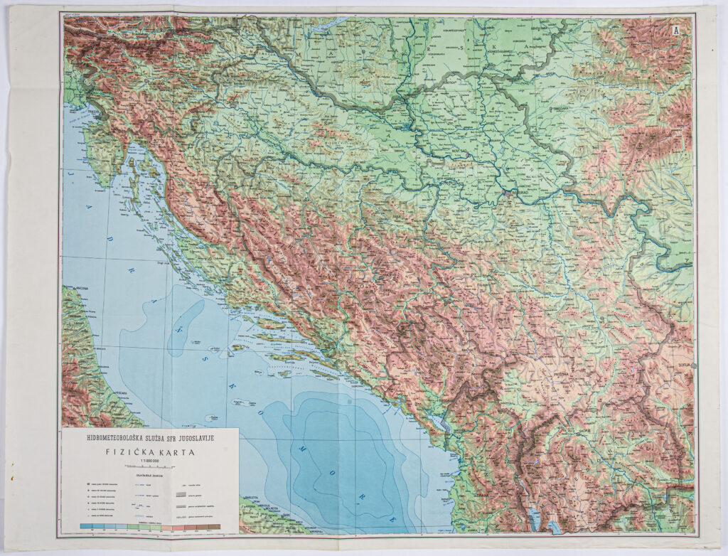
Map: ‘HYDROMETEOROLOGICAL SERVICE OF THE SFRY / PHYSICAL MAP’
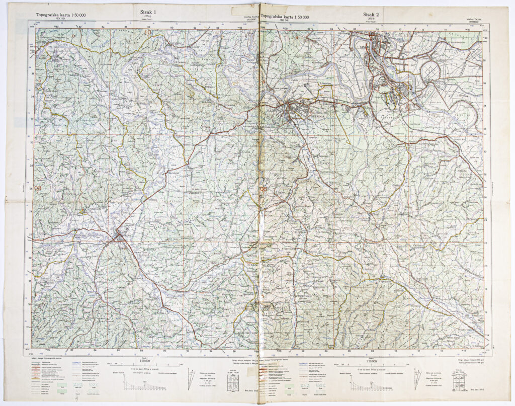
‘Sisak’ Detailed Topographic Map
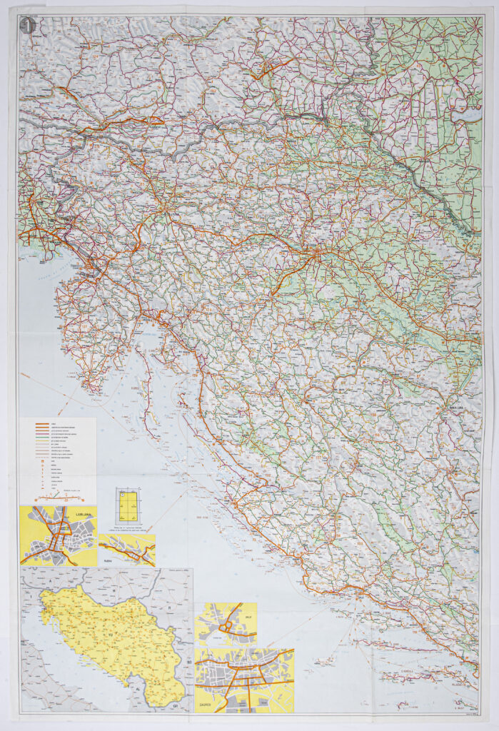
Road Map Sheet of the Socialist Federal Republic of Yugoslavia
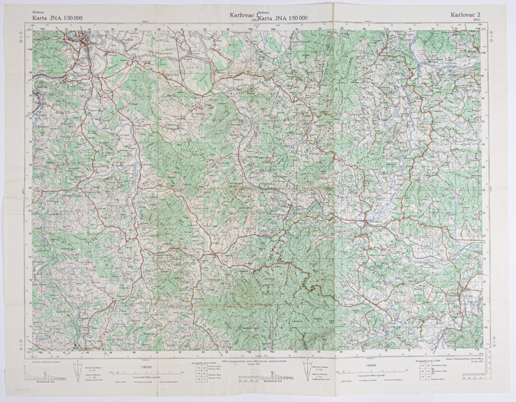
‘Karlovac’ Sheet from the Topographic Map of the Yugoslav People’s Army